Tavira
Praça da República
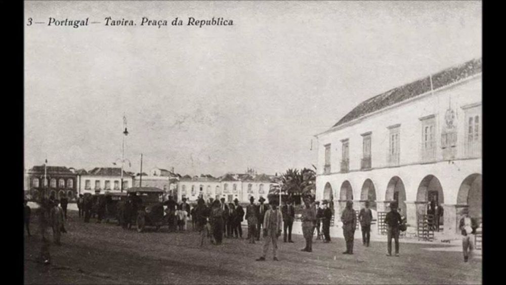
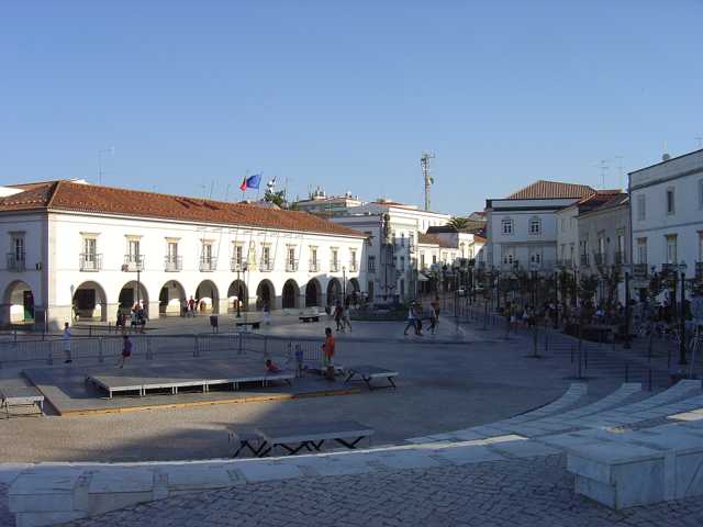
The town's lopsided square by the bridge: rossio, marketplace and town hall square since 1645.
Periods
Tags
Opening hours
Freely accessible The site is in the public space and can be visited at any time.
Introduction
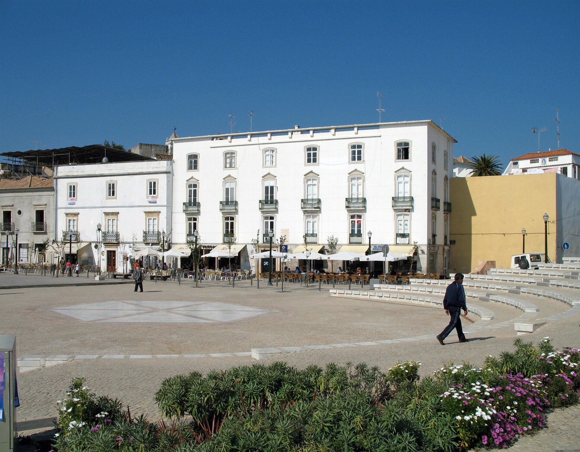
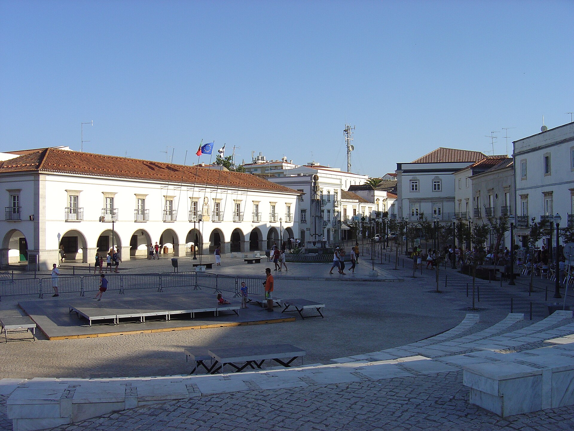
The square slopes, and it is lopsided. An irregular trapezoid between the town hall's arcade and the old bank building, with the old bridge at the bottom toward the river and the war memorial in the middle. This was the town's rossio, the open ground outside the wall, where the river harbour lay in Moorish times. In the first half of the 15th century stone arcades replaced the wooden stalls, and the town held its market here until Mercado da Ribeira opened in 1887. The name has followed the form of government: Praça da Ribeira, from 1822 Praça da Constituição, from 1910 Praça da República. The oldest thing lies under the bank building, a stretch of Islamic town wall from the 12th century with a horseshoe-arched gate, found in 1996.
Historical highlights
Outside the wall
In Moorish times Tavira lay up on the hill behind its wall of taipa, rammed earth, and down here by the river lay the harbour. So the square was outside. The wall came to light when Campo Arqueológico de Tavira dug in the old bank building opposite the town hall in 1996: a stretch of wall from the 12th century and a gate with a horseshoe arch that probably belonged to a defensive tower. In 2002, beneath that again, they found a Phoenician fish-salting works from the 5th century BC. The Vaso de Tavira was found on the same spot.
The town's rossio
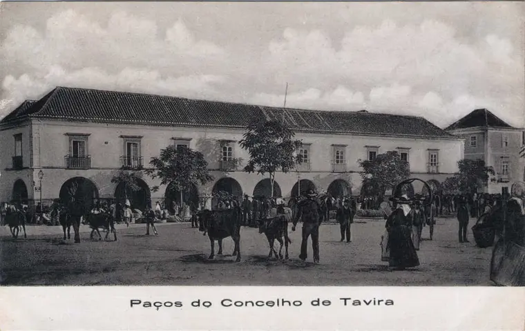
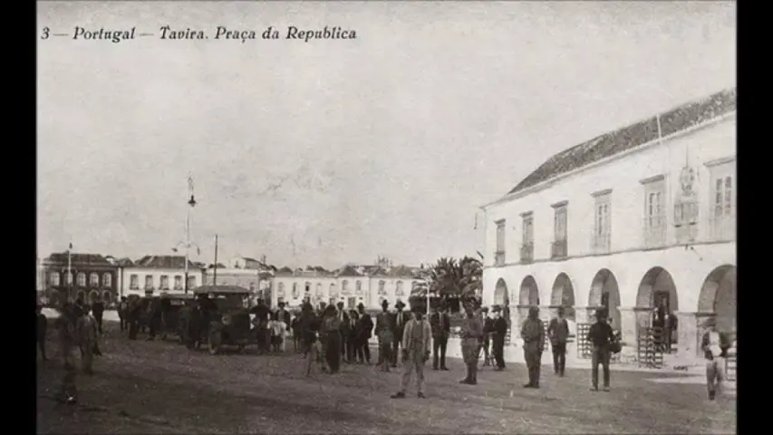
In the first half of the 15th century the square was rebuilt. Stone arcades replaced the wooden stalls; butchers' stalls arrived, fruit shops, a bread shop by the bridge and a small chapel, Santo António da Praça. From 1496 there was an annual feira franca, extended in 1579. Together with Rua Nova Grande the square was the centre of the 16th-century town, and Porta de D. Manuel was opened in the wall above with an exit onto the square. In 1645 the town council moved down here. The market stayed in stalls and tents on the square and under the town hall's arcade until Mercado da Ribeira took over in 1887. The square has been a marketplace longer than it has been anything else.
The tower that vanished
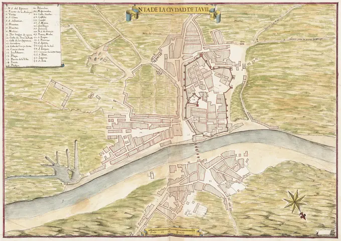
At the west end of the bridge stood Torre do Mar, an octagonal tower of Moorish origin, tied to the town wall by an arcade. In 1763 the town's main guardhouse was built up against it. Both were demolished late in the 19th century, the guardhouse from 1870, the tower in the 1880s; the sources say 1883, 1885, 1886 and 1888, so take your pick. The bridge has its own entry, but it is from here you see how much the square has lost toward the river.
Names and copies
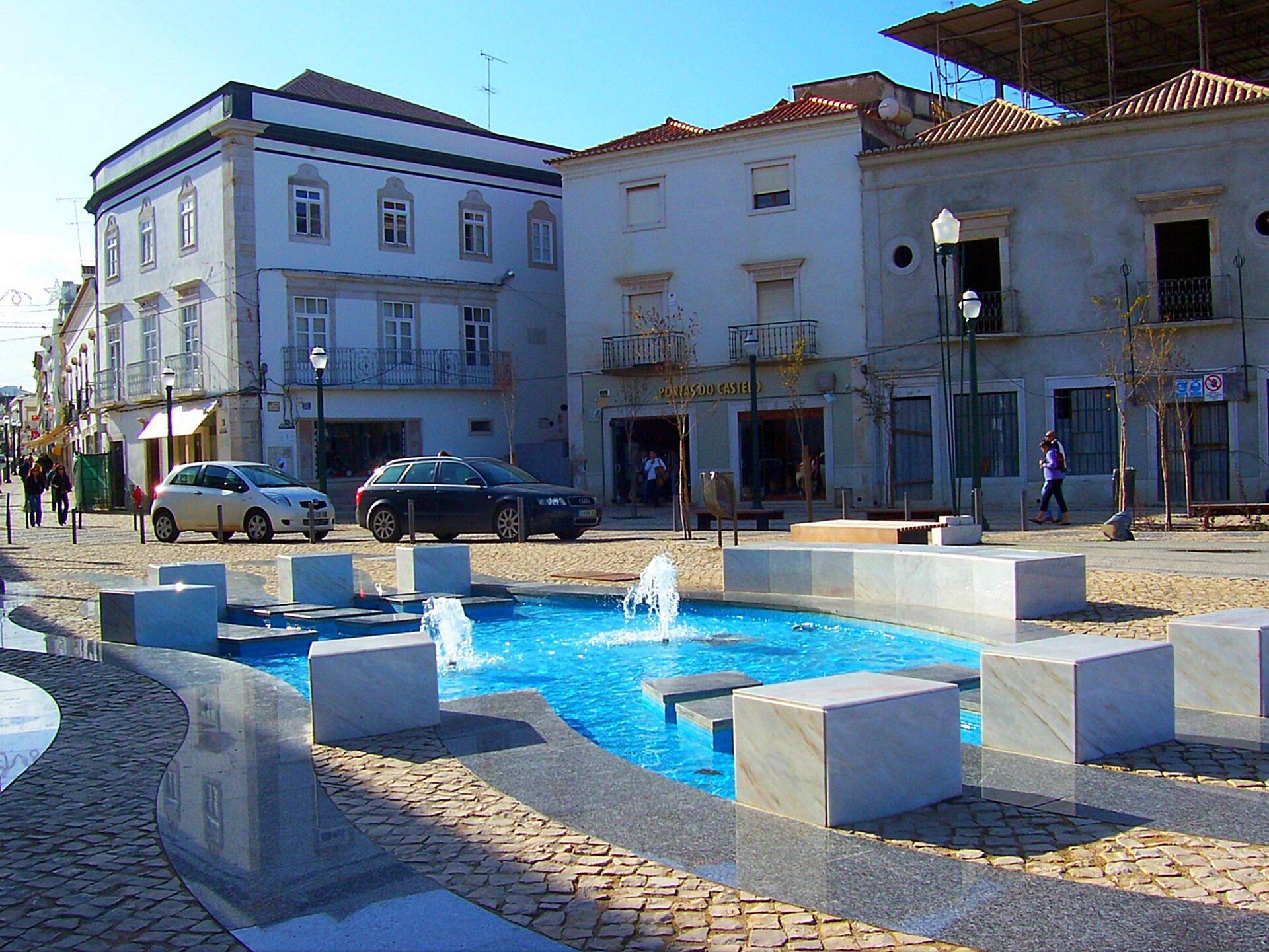
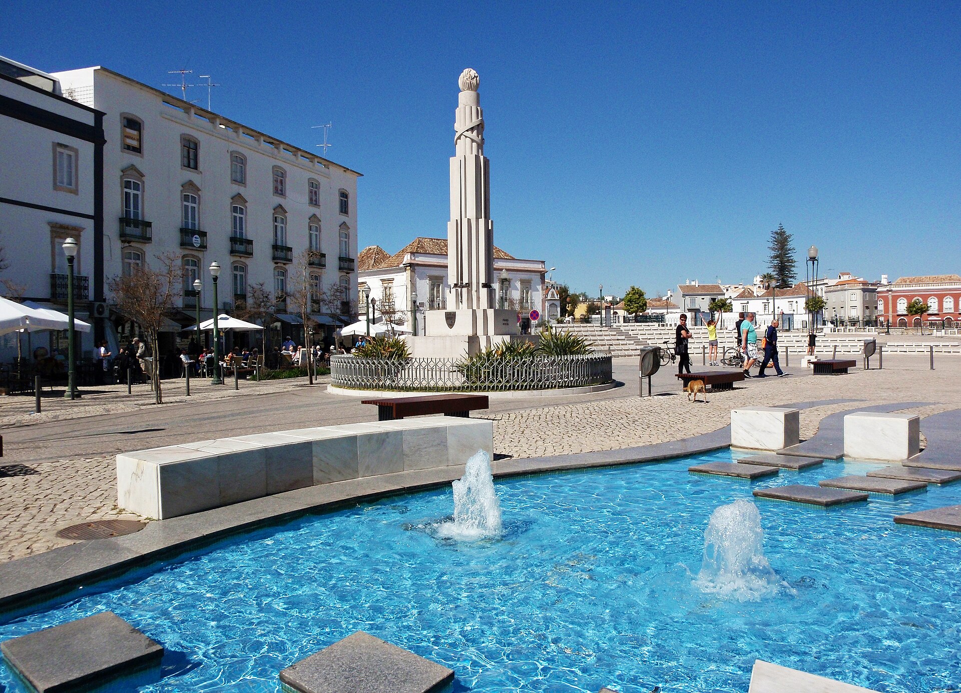
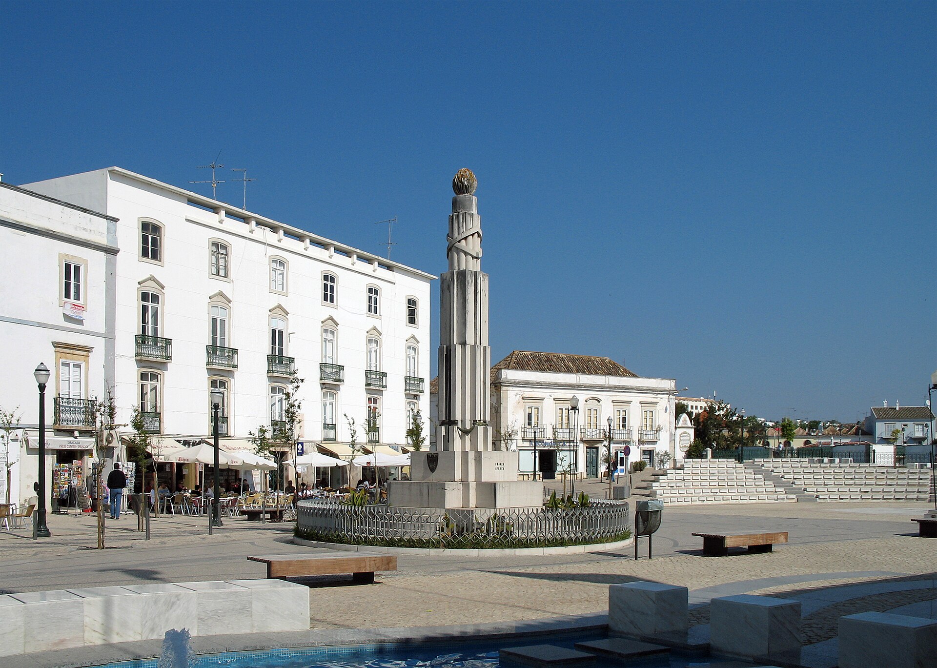
Praça da Ribeira became Praça da Constituição after 1822 and Praça da República in 1910. In the middle stands Monumento aos Combatentes da Grande Guerra, foundation stone 1932, unveiled 1933, for 51 fallen from the town's battalion. The town hall with the arcade looks like something old, but it is a copy; the old house was demolished and rebuilt in 1954-55. Both have entries of their own. The square itself has been relaid in recent decades and is used for concerts and performances; a local town blogger calls it "efeito Macário" after the mayor of 1997-2009.
Practical
Go into Núcleo Museológico Islâmico in the old bank building opposite the town hall, opened in February 2012. There stand the wall and the tower in taipa, the Vaso de Tavira and a caliphal capital. Look for the ochre-coloured piece of wall on the corner of Rua Gonçalo Velho, that is how the walls looked when new, and for the stone head on the town hall's south-west corner, which tradition calls D. Paio Peres Correia. The tourist office is opposite the town hall.
Timeline and context
Timeline
- 5th century BC Phoenician fish-salting works, found under the bank building in 2002.
- 11th-12th centuries River harbour outside the town wall; Almohad taipa wall with horseshoe-arched gate where the bank building stands today.
- First half of the 15th century Stone arcades replace the wooden stalls; butchers' stalls, fruit shops, bread shop by the bridge; Torre do Mar is rebuilt.
- 1496 Feira franca established; extended 1579.
- Early 16th century Porta de D. Manuel is opened in the wall toward the square.
- 1645 The town council moves to the square; the town hall is remodelled in 1704.
- 1763 The main guardhouse is built up against Torre do Mar.
- 1822 Praça da Constituição.
- 1880s Torre do Mar and the main guardhouse are demolished; 1883-88 depending on the source.
- 1887 Mercado da Ribeira opens on 30 June, and the market leaves the square.
- 1910 Praça da República.
- 1932-33 Monumento aos Combatentes da Grande Guerra is erected.
- 1954-55 The town hall is demolished and rebuilt as a copy.
- 1996-2012 Excavations in the bank building; Núcleo Museológico Islâmico opens on 25 February 2012.
Why the square is here
The square is the spot where the bridge meets land. The Moorish town lay inside the wall on the hill, the harbour lay outside by the river, and when the town grew in the late Middle Ages, it grew down here. The main axis from Rua do Malforo via Rua Nova Grande, the square and the bridge ran around the old core, not through it. The shape is a delta where Rua Nova Grande opens out, lopsided and rising toward the river. When the town council moved down here in 1645, power had followed trade.
What is left
Less than you would think. The town hall is from 1954-55, the memorial from 1933, the tower is gone, and the paving is new. The old lies indoors and underground: the wall and the gate in the bank building, the ochre-coloured piece of wall on the corner of Rua Gonçalo Velho. The bank building lies in the protection zone of both the town walls, listed in 1939 and extended in 2014, and the Misericórdia church, and the whole town centre has been a critical urban renewal area since 1999. It is a square whose history you have to step through a door to see.