© OpenStreetMap contributors
Time travel
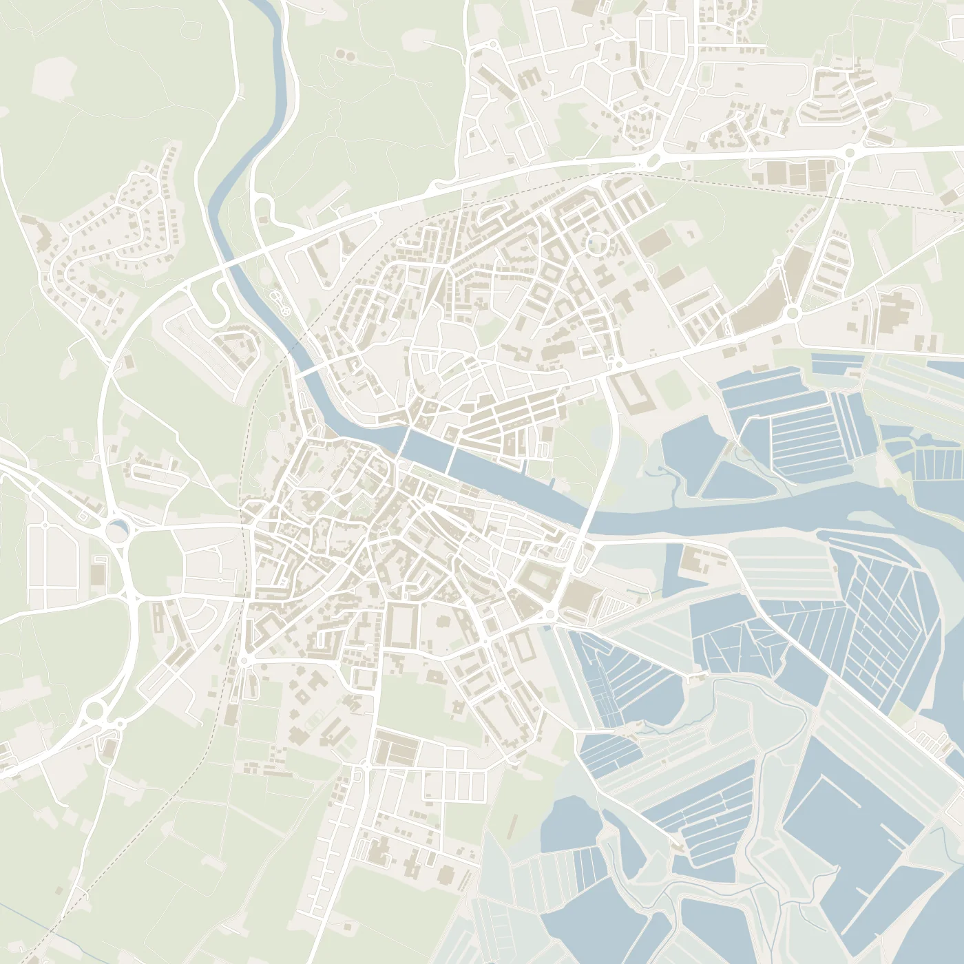
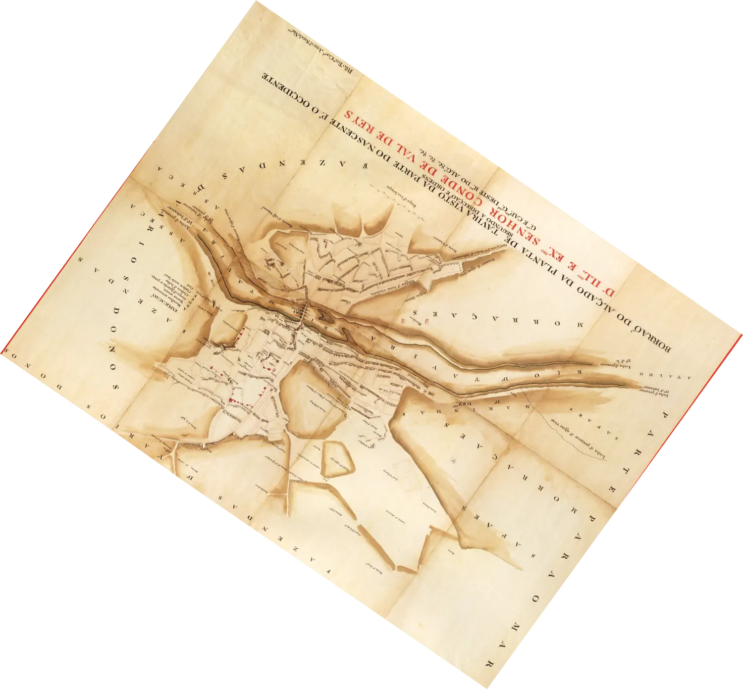
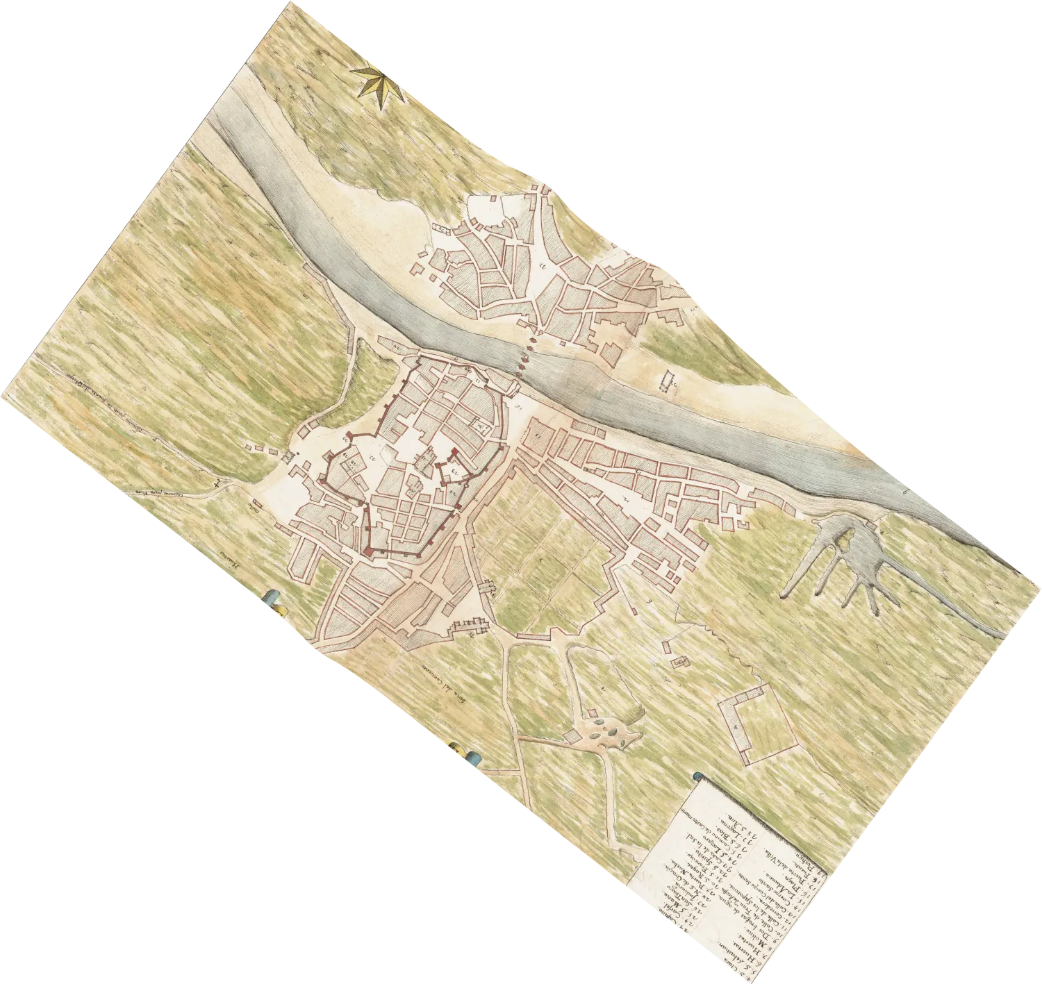
Two old maps, fitted over today's town
The map on top shows Tavira in the mid-1500s. The one beneath it dates from 1797. Both were drawn with southwest at the top. We turned and stretched them until the streets lie where they lie today. Each map is pinned at 40 or more points, such as house corners and street crossings.