Cape Roca
Introduction
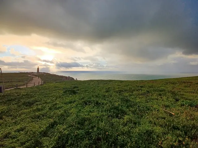
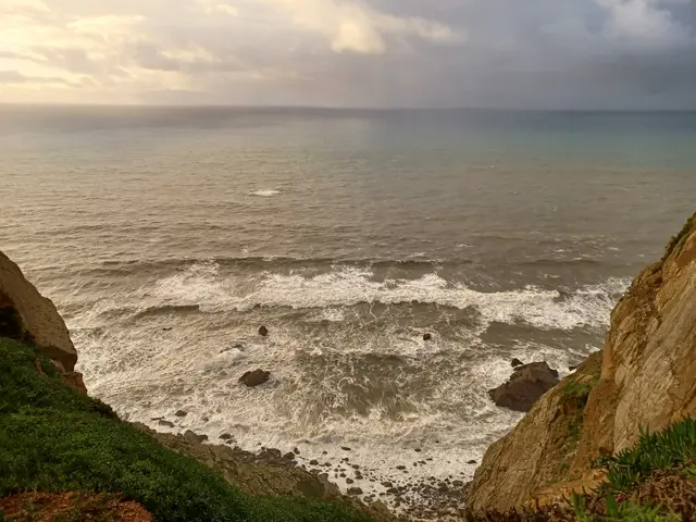
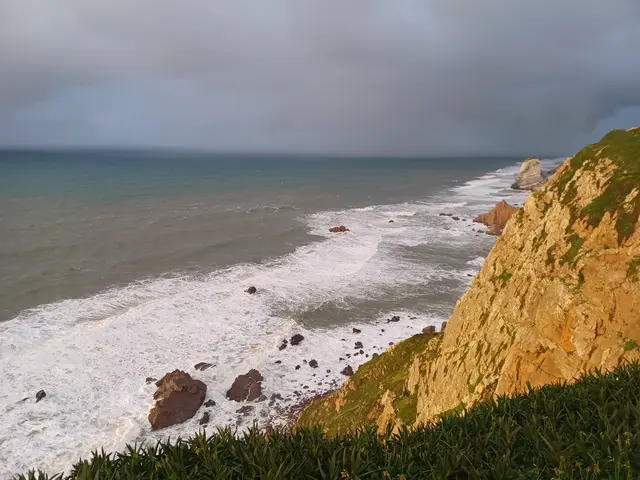
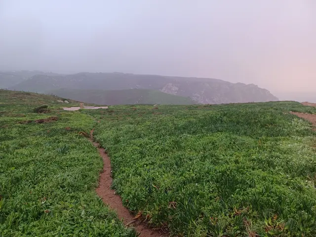
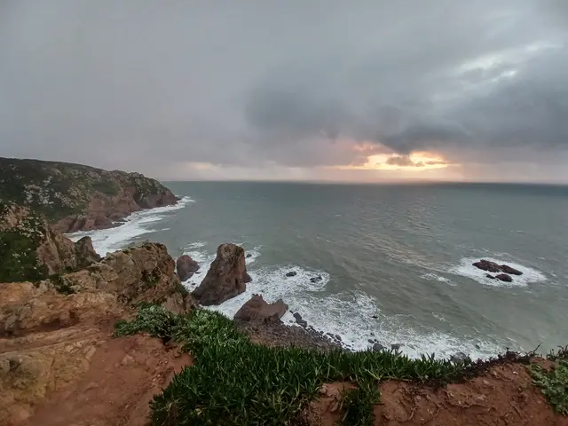
Cabo da Roca in Sintra is more than just mainland Europe’s westernmost point; it is a site where natural drama meets centuries of heritage. Stand above roaring Atlantic waves, discover a steadfast lighthouse, and find echoes of explorers and poets. From ancient mariners to present-day visitors, Cabo da Roca sparks wonder as a portal where land truly ends and the great sea begins.
Advertisement
Historic Highlights
🗺️ Promontory of Legends
Cabo da Roca’s windswept cliffs served as a geographic beacon for ancient travelers. Known as Promontorium Magnum in Roman times, the cape marked the “edge of the world.” Classical scholars, including Avienus, hinted at its mystique—a place shrouded in legend and the land’s last outpost before the Atlantic abyss.
“Where the land ends and the sea begins.”
— Luís de Camões, epic poet of Portugal
🏰 Fort on the Cliffs
Amid the turbulent 1600s, Cabo da Roca gained strategic importance. Pirate ships haunted its waters, prompting Portugal to build the Fort of Nossa Senhora da Roca around the 1640s. Perched high on the rocks, it was both vantage and vulnerability: too elevated for cannon fire to be truly effective, yet vital for sending warnings along the coast.
“The fort was... ‘of no utility’ except as a signal outpost.”
— 1777 military report
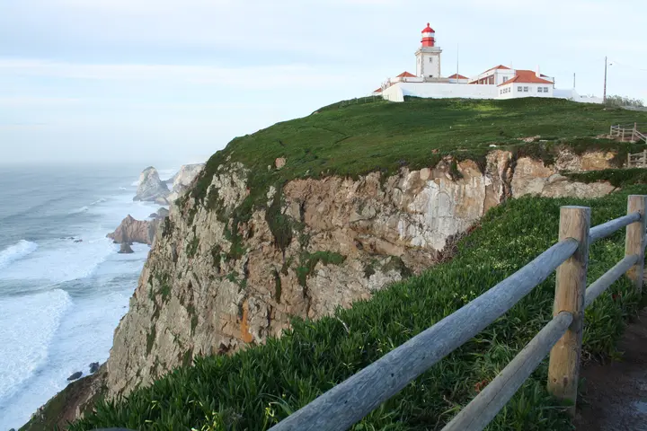
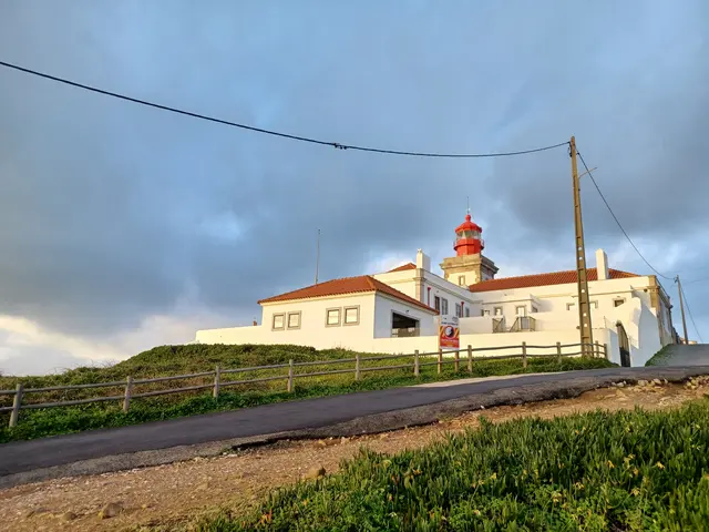
💡 Lighthouse and Lives Illuminated
The story of Cabo da Roca would change in 1772, when the first purpose-built lighthouse in Portugal began to shine. Its beacon guided countless ships to safety. For generations, lighthouse keepers lived here, braving storms and tending the light. One family’s oral history recounts their children hiking kilometers to school, and keepers rushing to alert authorities when a ship was in distress.
🌄 Community, Culture, and Poetry
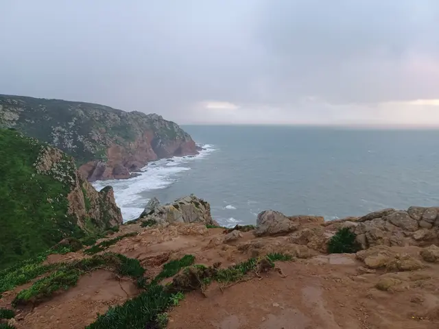
Cabo da Roca is more than a triumphal arch for explorers; it is a touchstone for Portuguese identity. Camões’ words greet visitors on the dramatic monument, while villagers from Colares gather each June to recite poetry at sunset. Local lore speaks of bonfires lit in fog, and fishermen still use the cliffs and lighthouse for guidance. What was once the “rock at the end of the world” is now a meeting ground for travelers from around the globe—drawn to its edge for contemplation, adventure, and a shared sense of wonder.
💡 Visitor Tip
Pair your visit to Cabo da Roca with a coastal hike toward Praia da Ursa, and don’t forget to request your commemorative certificate at the visitor center.
Timeline & Context
Historical Timeline
- Antiquity – Known as Promontorium Magnum; landmark for early sailors and Roman geographers.
- 1147 – Cape sighted during Crusader fleets’ approach to Lisbon.
- 1600s – Frequent pirate and privateer attacks off the cape.
- 1640s – Fort of Nossa Senhora da Roca constructed to protect merchant shipping.
- 1693 – First documented reference to the fort.
- 1751 – Inspection finds fort “quite ruined.”
- 1772 – Cabo da Roca Lighthouse becomes operational—the first of its kind in Portugal.
- 1843-1897 – Lighthouse improvements: new optics, electric lighting, foghorn.
- 1977 – Fort’s remains classified as a property of public interest.
- 1994 – Area incorporated in Sintra-Cascais Natural Park.
- 2022 – Lighthouse celebrates 250 years of continuous service.
Coastal Defense and Fortification
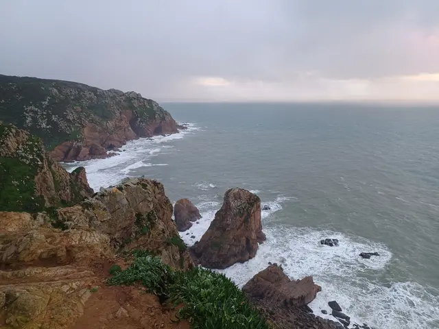
Cabo da Roca’s Fort of Nossa Senhora da Roca reflected Portugal’s 17th-century efforts to guard Lisbon against piracy and invasion. Built shortly after the Restoration War, this small outpost—unlike the sea-level forts at nearby Cascais—exploited elevation for signaling but struggled with effective artillery coverage due to its immense height. By the late 1700s, military reports openly criticized its placement, highlighting a strategic evolution: focus shifted from lofty promontories to accessible ports.
Lighthouse Innovation and Maritime Navigation
The construction of the Cabo da Roca Lighthouse in 1772 marked not just a local milestone, but a turning point in Portuguese navigation. As the nation’s first purpose-built coastal beacon, it embodied Enlightenment values of science and reason put to practical use. The lighthouse underwent incremental modernization—transitioning from oil and coal to electricity and, eventually, full automation in 1990. Throughout, lighthouse keepers (faroleiros) and their families formed a unique, close-knit community at land’s end, melding everyday hardship with high responsibility. Their routine—winding the clockwork, tending the garden in windbreaks, and keeping watch for emergencies—is an evocative example of technology’s quiet human backbone.
Heritage Preservation and Environmental Challenges
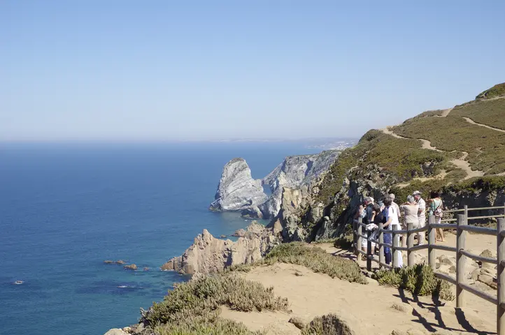
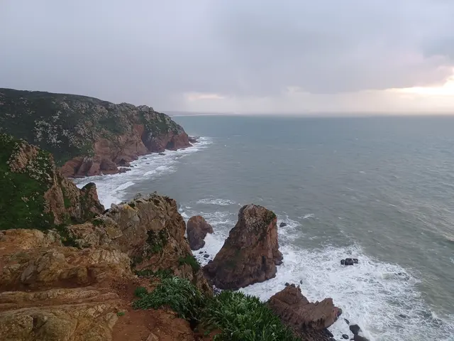
Modern recognition of Cabo da Roca’s heritage came gradually. While the fort’s ruins—partial walls and foundations—are protected as an archaeological site, they illustrate the fragile, often-overlooked remnants of coastal defense. The lighthouse, maintained by the Navy, now welcomes guided visits, signifying the shift toward educational use of maritime monuments. Conservation efforts face real dilemmas: invasive plant species threaten native flora, and over 400,000 annual visitors test the resilience of walkways and cliff-side habitats. Notably, tragic accidents due to overstepping barriers have prompted stronger safety measures and multilingual signage.
Cultural Meaning and Local Identity
Cabo da Roca anchors local identity and Portuguese self-conception at the threshold between land and the Atlantic. Camões’ verse, immortalized on the monument, endows the cape with poetic prestige and nationwide resonance. Annual gatherings, school recitations, and even a winter road race (“Fim da Europa”) sustain its living role as both symbol and gathering ground. Oral traditions of bonfires for navigation and tales of shipwreck ghosts connect past to present, ensuring that collective memory survives alongside physical heritage.
Interpreting the “Edge of Europe”
Placing Cabo da Roca among its regional peers—such as Cascais’ Fort of São Jorge de Oitavos or Sesimbra’s Cabo Espichel—sharpens our grasp of Portuguese strategies for securing and sanctifying remote Atlantic frontiers. If Espichel became a pilgrimage hub layered with faith, Cabo da Roca’s unique blend of fortification, navigation, and literary commemoration embodies Portugal’s wider motif of the fim do mundo: a meeting of tangible history and imagined horizons.